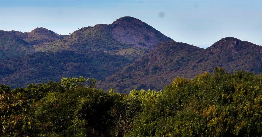
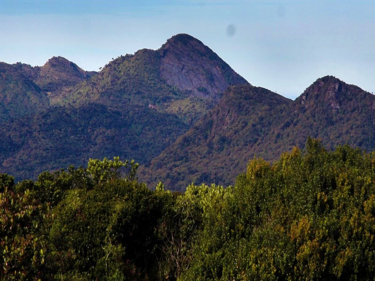
Kirigalpoththa (also spelled Kirigalpotta) is the second-tallest mountain in Sri Lanka, rising to an elevation of 2,388 meters (7,835 feet) above mean sea level. Located in the Nuwara Eliya district, Kirigalpoththa is the highest mountain in the country whose summit is accessible to the general public, as the taller Pidurutalagala remains an off-limits telecommunications zone.
The only trail to the summit begins inside Horton Plains National Park. The trek weaves across wet patana grasslands, boggy terrain, and dense montane cloud forests. Sambar deer, purple-faced langurs, and even elusive Sri Lankan leopards inhabit these misty highlands, though wildlife sightings require patience and quiet observation.
Kirigalpoththa Trekking Details
The expedition to Kirigalpoththa is considered one of the finest high-altitude nature trails on the island:
- Trail Distance: 7 km from the trailhead to the summit (14 km round trip)
- Trailhead: Horton Plains Park Office (near Farr Inn)
- Trail End: Kirigalpoththa summit ridge
- Time to Reach the Summit: Approximately 5 to 6 hours round trip
- Recommended Starting Time: 6:00 AM – 6:30 AM
- Climb Difficulty: Moderate to challenging (rocky scrambles and wet terrain)
- Essential Items to Carry: Drinking water, raincoat or waterproof jacket, sweater/fleece, hat, and a basic first-aid kit
- Recommended Attire: Sturdy hiking boots with dependable grip and ankle support, trekking trousers, and warm breathable layers
- Best Time to Visit: December to April offers the clearest weather; July and August are also favorable hiking months
Kirigalpoththa Mountain Weather
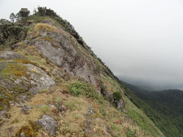
Weather across the Kirigalpoththa trail is notoriously unpredictable. Expect cold, wet, and windy conditions, especially on the exposed upper slopes and summit ridge where dense mist and chilling winds frequently sweep across the plateau. Packing reliable windproof and waterproof layers is essential.
Nearby Attractions in Horton Plains
The trailhead for Kirigalpoththa is situated close to several other celebrated highlights in Horton Plains National Park:
- World’s End – The sheer 880-meter escarpment overlooking the southern lowlands.
- Baker’s Falls – The scenic waterfall along the Belihul Oya on the park’s circular loop.
- Thotupola Kanda – The third-highest peak in Sri Lanka (2,357 m), offering an accessible 2 km nature trail near the Pattipola entrance.