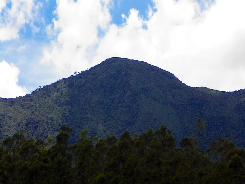
Thotupola Kanda (also known as Totapolakanda or Thotupolakanda) is the third-highest mountain in Sri Lanka, rising to an elevation of 2,357 meters (7,733 feet) above sea level. The peak is situated within Horton Plains National Park in the Nuwara Eliya district of the central highlands.
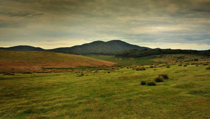
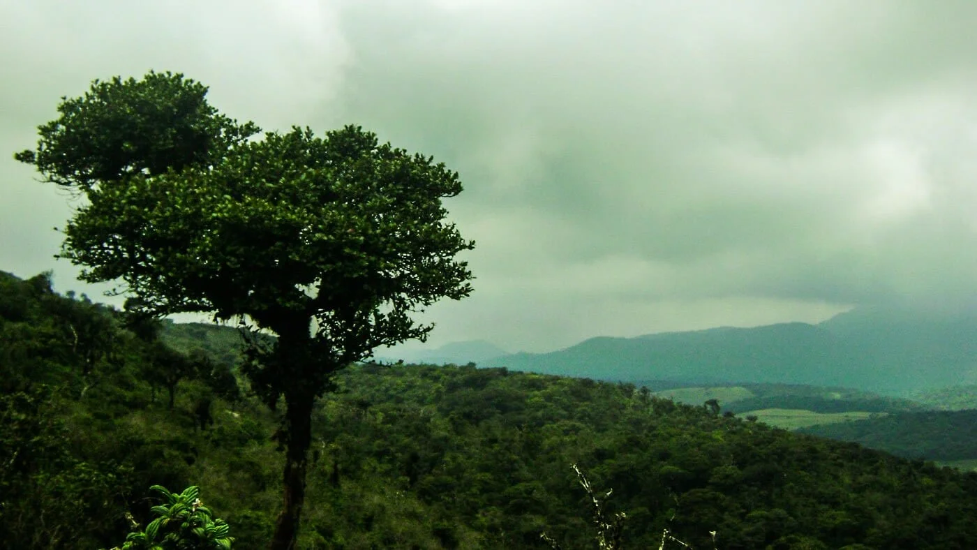
The nature trail leading to the summit is approximately 2 km long and begins just a few meters inside the park from the Pattipola entrance gate. The trail traverses rough mountain terrain lined with stunted shrubs, rhododendrons, and dwarf cloud forest trees uniquely adapted to the chilly, windswept highland climate. On clear mornings, reaching the summit rewards hikers with sweeping panoramic views across the rolling patana grasslands toward Adam’s Peak and the southern plains below.
Trekking Details for Thotupola Kanda
Compared to longer mountain expeditions in the region, Thotupola Kanda is one of the most accessible highland summits:
- Trail Distance: Approximately 2 km one way (4 km round trip)
- Trailhead: Near the Pattipola entrance gate of Horton Plains
- Duration: 1.5 to 2 hours round trip
- Trail Difficulty: Easy to moderate
- Best Time to Hike: Early morning between 6:00 AM and 10:00 AM before cloud cover rolls in
Historical and Mythological Significance
In the Sinhala language, Thotupola Kanda translates literally to “Landing Site Mountain”. According to local folklore and the ancient Ramayana legend, King Ravana used this flat, elevated peak as a landing ground for his flying craft (Dandu Monara) upon returning from India.
Nearby Attractions in Horton Plains
Visitors exploring Thotupola Kanda can easily combine the hike with other natural highlights in the area:
- Horton Plains National Park – The primary protected highland plateau featuring rolling wet patana grasslands and rare endemic flora and fauna.
- World’s End – The renowned 880-meter vertical drop escarpment on the park’s circular trail.
- Baker’s Falls – A scenic 22-meter waterfall formed by the Belihul Oya river.
- Kirigalpoththa – Sri Lanka’s second-highest summit, accessible via a challenging 14 km return trail from the park office.