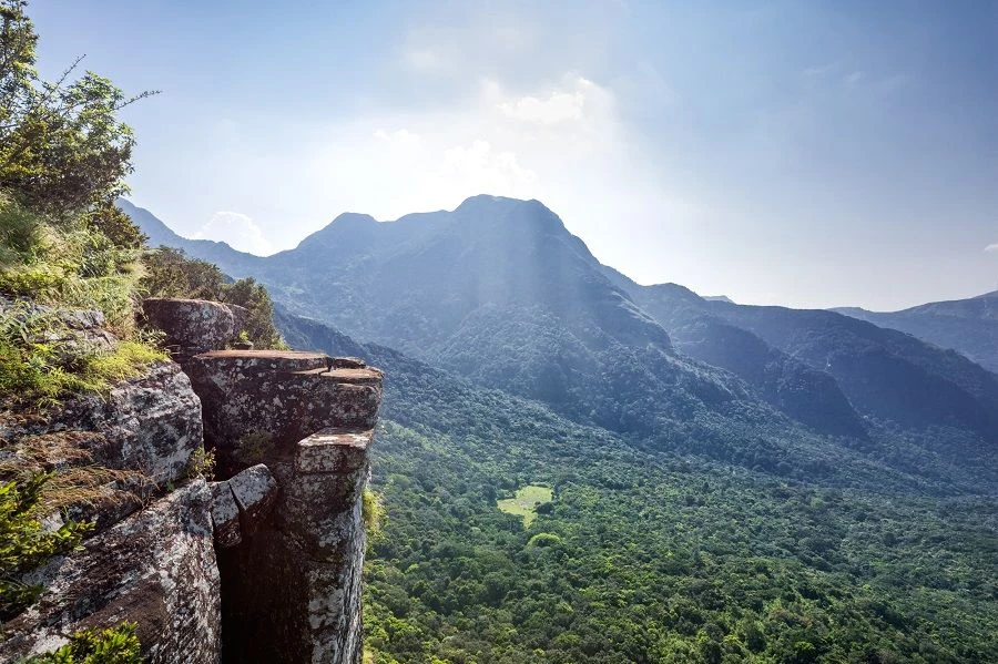
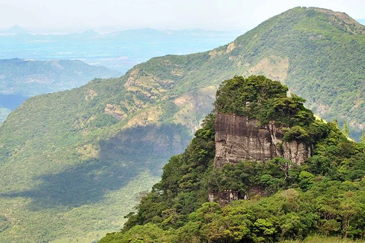
Towering to an elevation of 1,424 meters (4,672 feet) in the northern sector of the UNESCO World Heritage-listed Knuckles Mountain Range (Dumbara Kanduvetiya), Riverston is one of the premier highland trekking destinations in the central province. Situated in the Matale District, this breathtaking mountain plateau features mist-draped pygmy forests, gusty ridges, sweeping grasslands, and sheer precipices overlooking the Thelgamu Oya river basin and the eastern dry zone plains.
Renowned for its dramatic microclimates and the howling winds that whistle across the famous “Windy Gap” (Hulan Kapolla), Riverston offers outdoor enthusiasts an accessible yet deeply rewarding mountain escape that combines rewarding panoramic vistas with rich biodiversity.
Key Highlights & Attractions Around Riverston
The road through Riverston and the surrounding valleys connects several celebrated natural wonders:
- Riverston Peak & Transmission Towers: The classic hike ascends a paved 2.5 km service road from the trail carpark, winding past montane mossy forests and open grassy ridges to the twin telecommunications towers at the windy summit, rewarding climbers with a 360-degree panorama across the Knuckles peaks.
- The Windy Gap (Hulan Kapolla): A natural wind funnel formed by a deep saddle between two mountain ridges where high-velocity gale-force winds blow relentlessly across the trail year-round.
- Pitawala Pathana & Mini World’s End: Located 5 km past the Riverston trailhead, this 10-hectare grassland plateau sits on a thin layer of turf over sheet rock, ending abruptly at an exposed 750-meter vertical cliff face.
- Sera Ella Waterfall: A 10-meter-wide curtain waterfall tucked in the forest near Illukkumbura, featuring a unique dry cave chamber behind the falling cascade where visitors can stand and look out through the spray.
- Bambarakiri Ella: A scenic roadside waterfall crossed by an old wooden suspension bridge, located along the Matale–Rattota–Riverston road.
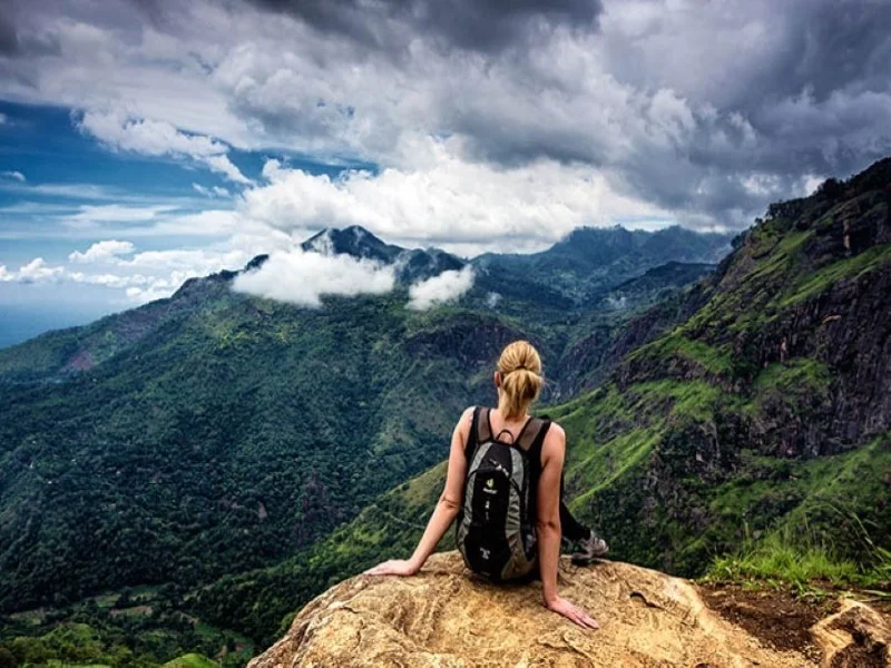
The Riverston Peak Hike: Trail Logistics
- Trailhead Location: Approximately 30 km northeast of Matale town via Rattota along the B274 road.
- Trail Distance: Approximately 5 km round-trip (2.5 km each way).
- Duration: 2 to 3 hours at an easy to moderate walking pace.
- Trail Terrain: Paved narrow roadway accessible only to official maintenance vehicles and walkers, making it an easy uphill trek suitable for families, casual hikers, and nature photographers.
- Elevation Gain: Approximately 300 meters from the car park to the summit.
Biodiversity of the Montane Cloud Forests
Because the Knuckles massif acts as a biological refuge isolated from the central massif, Riverston harbors exceptional flora and fauna:
- Pygmy Cloud Forests: Stunted, moss-covered trees adorned with epiphytic wild orchids, lichens, and endemic ferns adapted to high wind stress and continuous mist immersion.
- Endemic Amphibians & Reptiles: The grasslands of Pitawala Pathana are the exclusive microhabitat of the endangered Pointed-snouted pygmy frog (Microhyla zeylanica) and the leaf-nosed lizard (Ceratophora tennentii).
- Highland Avifauna: Frequent sightings of endemic birds such as the Sri Lanka whistling thrush, yellow-eared bulbul, dusky blue flycatcher, and raptors like the black eagle soaring on thermal updrafts.
Essential Visitor & Safety Tips
- Wind & Cliff Caution: Gusts at Hulan Kapolla and the cliff edge of Mini World’s End can be extraordinarily fierce; exercise extreme caution near drop-offs and keep children away from open ledges.
- Layering & Weather Gear: Temperatures can drop sharply when fog rolls in; carry a lightweight windbreaker or waterproof jacket, as sudden rains and thick cloud cover can occur within minutes.
- Leech Protection: During rainy periods, leeches are common in roadside grass and forest sections; wearing leech socks or applying repellent is advised.
- Best Time of Day: Early morning (6:30 AM to 9:30 AM) offers the highest likelihood of clear blue skies and breathtaking valley vistas before heavy afternoon mist blankets the summit.
- Optimal Travel Seasons: The driest and clearest conditions generally occur between January and March, and from July to September.
Nearby Knuckles & Cultural Destinations
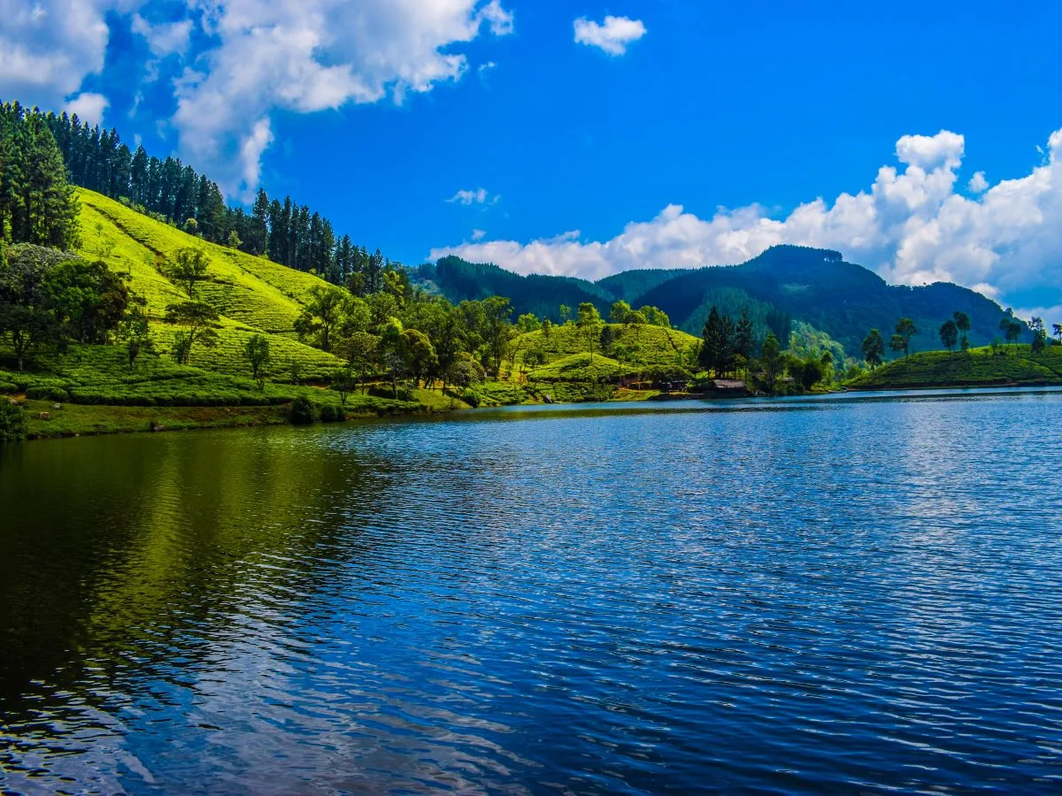
- Matale District Guide: Visit spice gardens, the Aluvihara rock cave monastery, and Sembuwatta Lake.
- Meemure Ancient Village: Venture deeper into the eastern Knuckles wilderness to experience traditional village culture beneath Lakegala rock.
- Kandy Hill Capital: The cultural capital located roughly 60 km south of Riverston.
- Dambulla & Sigiriya: Combine high-altitude mountain trekking with the historic UNESCO monuments of the Cultural Triangle to the north.
- Hantana Mountain Range: Another popular trekking ridge located just south of Kandy.